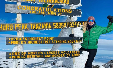
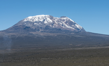
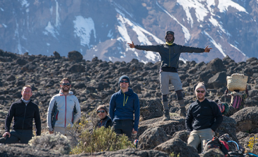
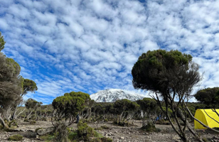
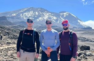
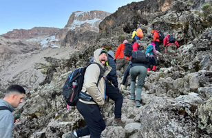
We are a team of enthusiastic nature and adventure lovers, who have dedicated their lives to outdoor activities a long time before making it their profession. Inspired by nature, dedicated to let you enjoy the true beauty that Tanzania has to offer. We are a locally owned and ran Tanzania safari tour company with customers from all around the world. Whether you crave a thrilling African safari, an exhilarating Kilimanjaro hike, a mesmerizing Serengeti migration experience, or exploration of Tarangire, Ngorongoro, Lake Manyara, Mkomazi, Nyerere National Park (Selous), Mikumi, Ruaha, Mahale Chimpanzee, Gombe, Burigi Chato, and Saadani, we have tailored packages to meet your desires.
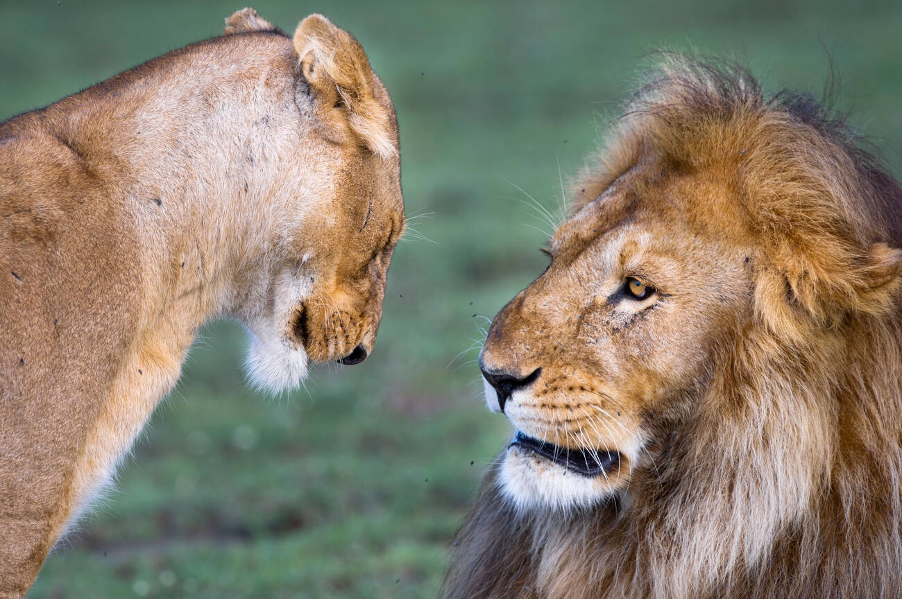


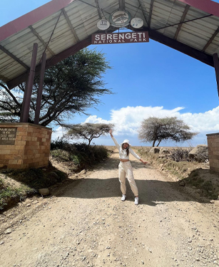
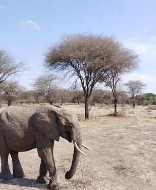
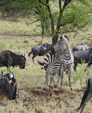
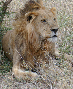
Explore the iconic Serengeti Migration, the breathtaking Ngorongoro Crater, the wild beauty of Tarangire National Park, the enchanting Lake Manyara, and the diverse landscapes of Arusha National Park. Witness the untamed beauty of Ruaha National Park, and embark on Mikumi Safari’s wildlife spectacle. Discover the hidden gems of Nyerere National Park, immerse yourself in the unique landscapes of Mkomazi, and experience the coastal charm of Saadani and delve into the mysteries of Mahale National Park with our Chimpanzee tours.
Let us guide you through an array of experiences that will leave you in awe. Whether you seek group-sharing, budget-friendly, midrange comfort, luxury indulgence, or camping accomodation. Ismani Tours And Safaris premier Tanzania Safari tour company has the perfect Tanzania safari destinations package for you to explore, creating memories that will last a lifetime.
Plan the Trip of a Lifetime with Sunset Tanzania Adventure
Discover Tanzania Top AttractionsContact us. We are dedicated to providing exceptional support whenever you need it.
CREATE NOWDay Trips from Moshi: These experiences are best for day trips in Moshi: Private Tour to Materuni Waterfalls, coffee tour & Kikuletwa Hot Springs. Materuni Waterfalls & Coffee Tour from Moshi. Full-Day Private Safari Tour – Arusha National Park. MATERUNI waterfalls, coffee tour & kikuletwa hot springs. Lake Manyara National Park Wildlife …!


Like all of our Tanzania holiday tours and Packages on this site, its just an ideas. Our Kilimanjaro Climbing and safari trips and tours are tailor-made, so we’ll always adapt them to suit you. But Sunset Tanzania Adventure we are flexible and Our Experts are ready to create and tweak any itinerary based on your preferences in order to make your Holiday Memorable.
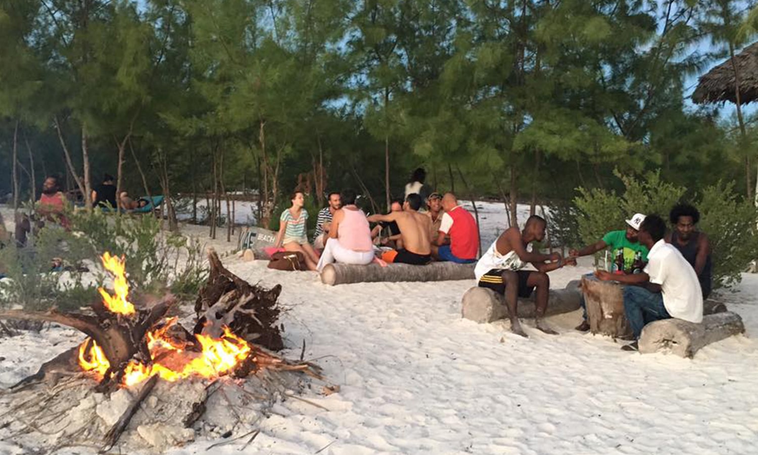
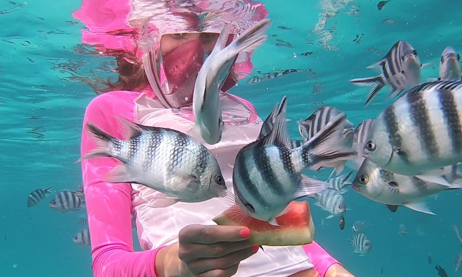
MAKE INQUIRY NOWLooking for a day tour in Zanzibar at the best value? Choose from our great range of day trips departing from either Stone Town City or Beach Destination and book your Zanzibar adventure now!
Copyright 2024 Sunset Tanzania Adventure Ltd. All Rights Reserved.